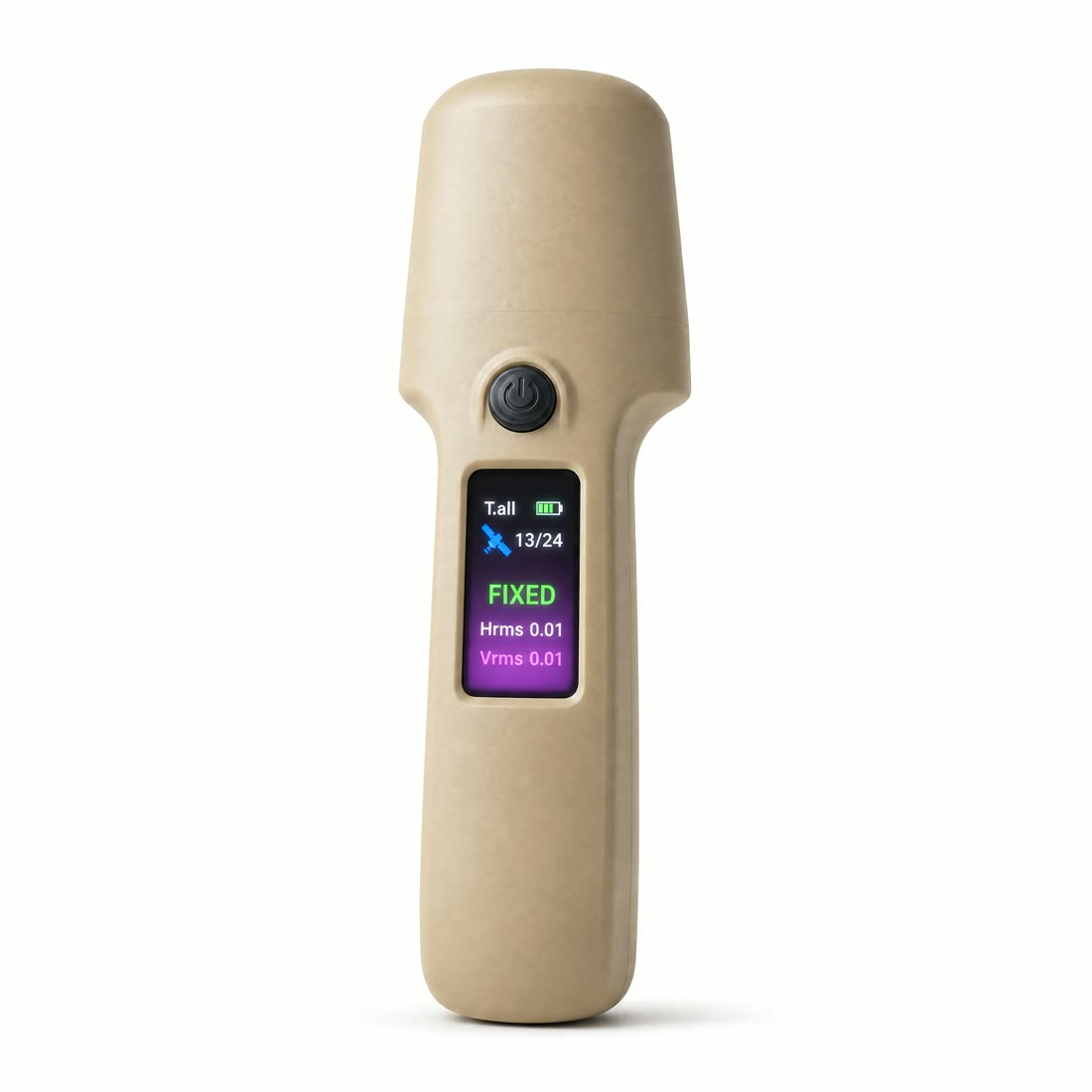
RTK fix rate up 40%
The built-in helical antenna has been redesigned and combined with multi-constellation, multi-frequency solving. The result is a 40% improvement in RTK fix rate, and a more stable fixed solution in obstructed environments.
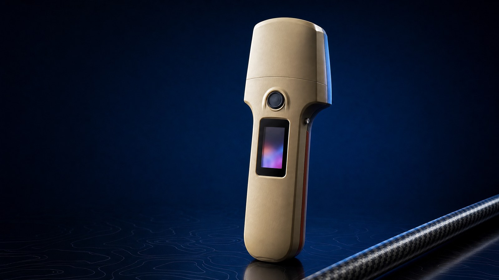
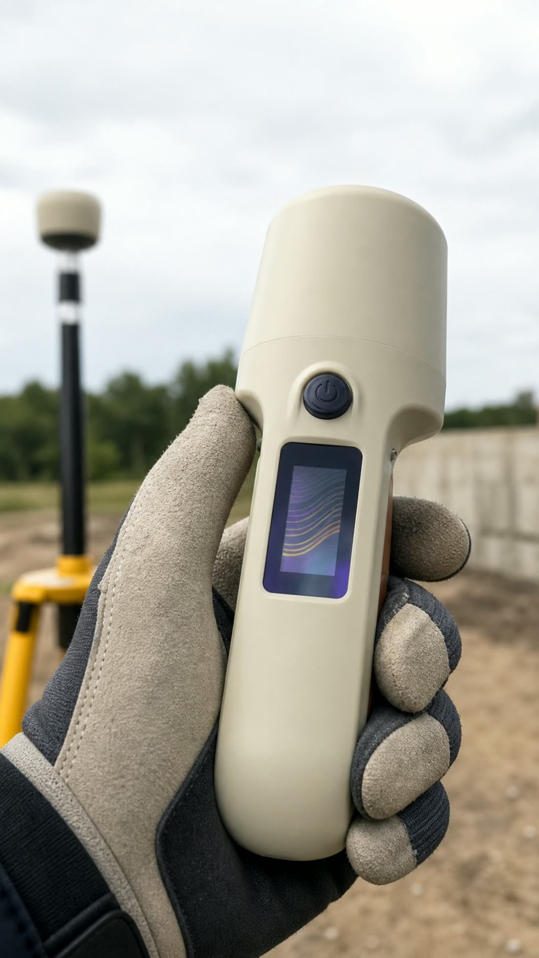
The H13 handheld RTK receiver is built for survey setting-out, utility inspection and GIS data capture. It combines multi-constellation RTK with NTRIP/CORS corrections, a 4000mAh battery and IP67 protection. This page explains RTK accuracy conditions and how the H13 differs from the lighter H11.
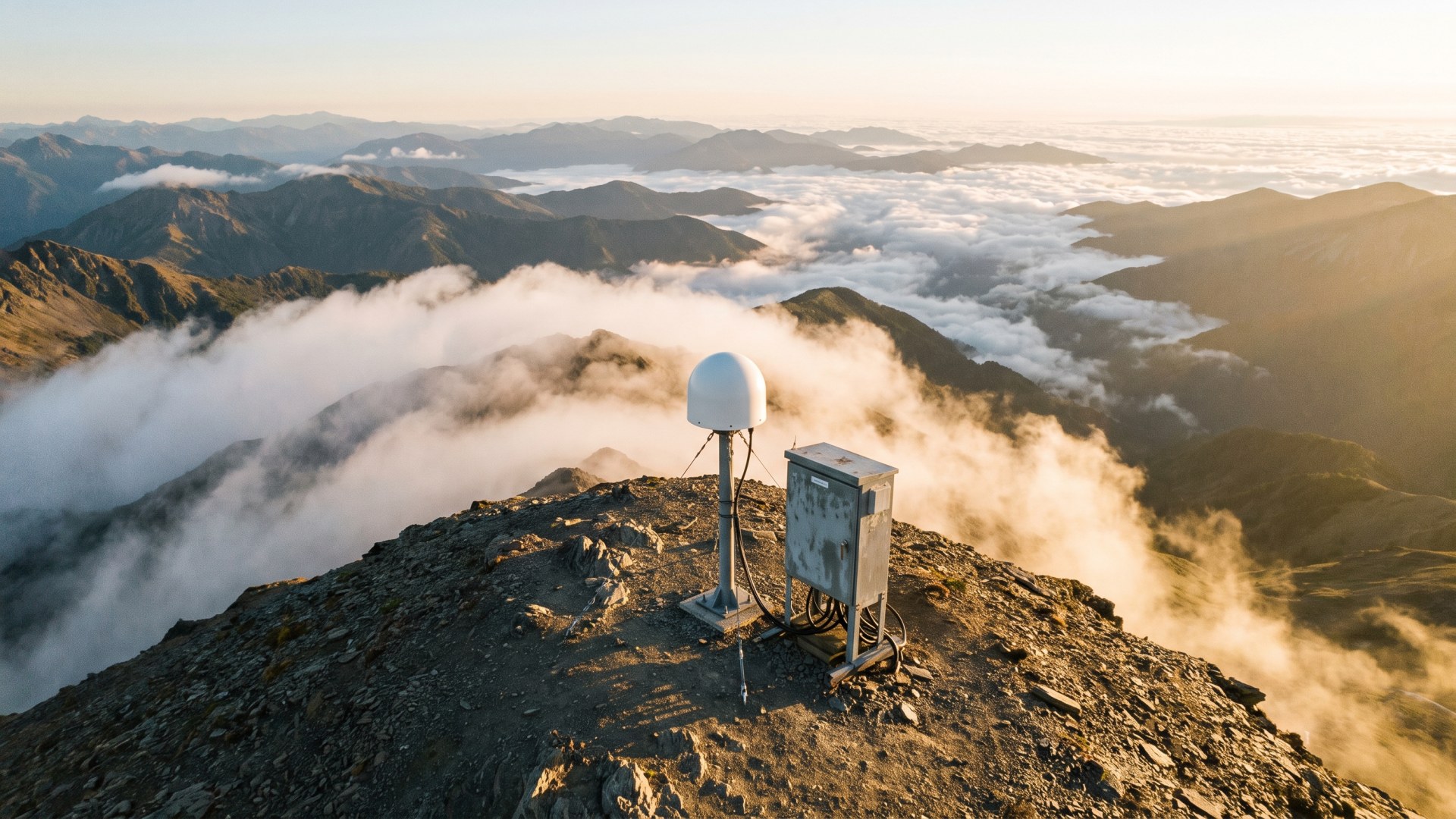
With a fixed RTK solution under open sky, the H13 is specified at ±(1.0 cm + 1 ppm × D) horizontal and ±(2.0 cm + 1 ppm × D) vertical, where D is the distance from the rover to the base station or correction service reference point. Real-world accuracy varies with satellite visibility, multipath, correction quality and coordinate-transformation settings.
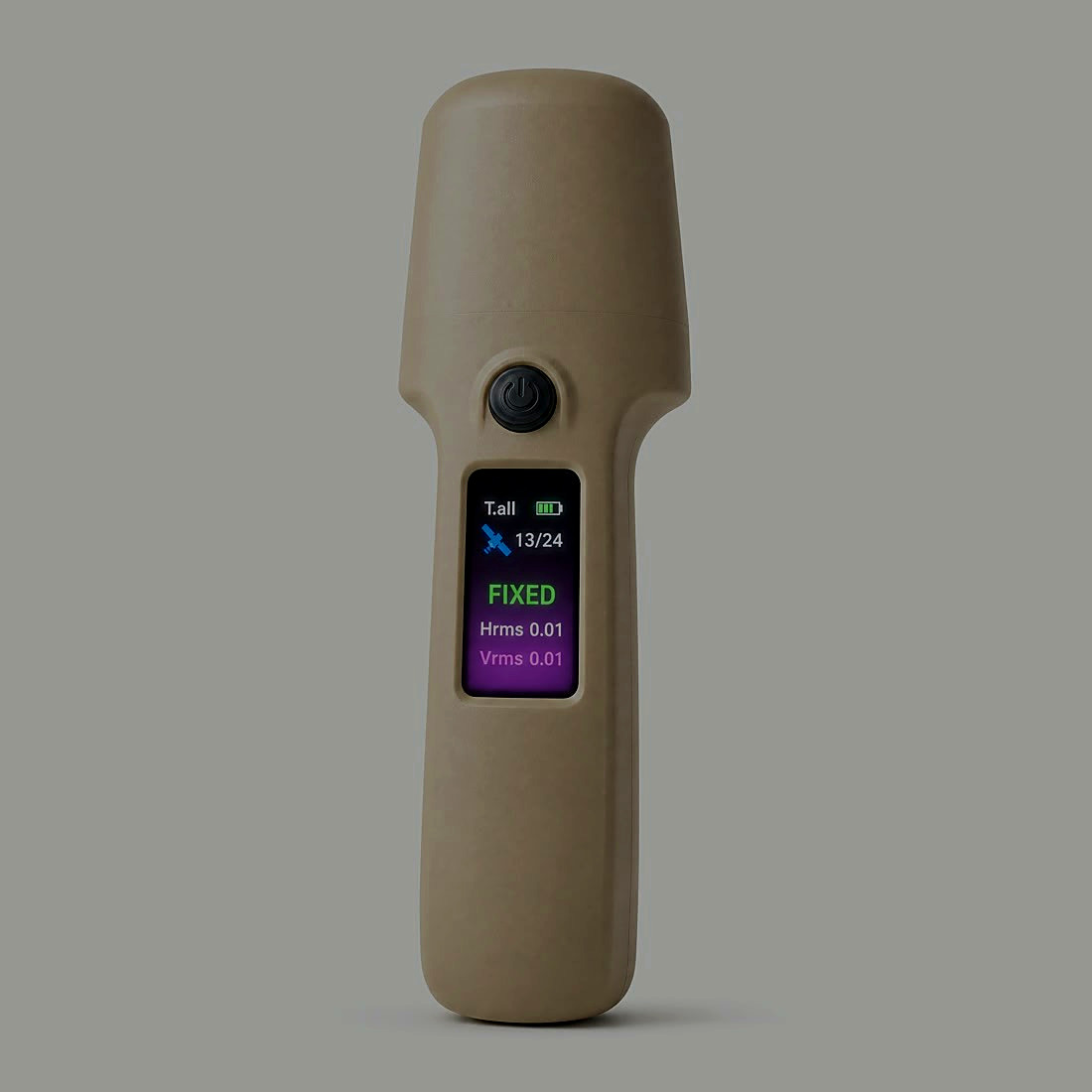
Published field tests show a fixed solution in roughly five seconds after power-on. If the receiver stays in float, check the correction account, NTRIP link, sky obstruction and base coordinates in that order. For link options, see 4G, radio or CORS for RTK corrections.
| Item | H11 | H13 |
|---|---|---|
| Positioning | BeiDou / GPS / GLONASS / GALILEO multi-frequency; NTRIP corrections | BeiDou / GPS / GLONASS / GALILEO / QZSS; centimetre-level fixed RTK |
| Correction protocols | NTRIP | RTCM2.3, RTCM3.x and CMR |
| Battery and weight | 3300mAh; 104g | 4000mAh; 140.5g |
| Display | OLED display with keypad | 28 × 13.5mm ISP display |
| Best fit | Personnel and vehicle tracking, field survey, inspection, security and engineering reconnaissance | Survey setting-out, pole measurement, GIS capture and mobile centimetre-level RTK work |
Choose the lighter H11 handheld GNSS receiver for personnel and vehicle positioning or routine field survey. Choose the H13 when you need longer runtime, the ISP display, five-constellation solving and fixed RTK accuracy. See the full H13 vs H11 selection guide.
The built-in helical antenna has been redesigned and combined with multi-constellation, multi-frequency solving. The result is a 40% improvement in RTK fix rate, and a more stable fixed solution in obstructed environments.
A 4000mAh battery keeps the receiver working through a full day in the field without a mid-shift top-up.
The screen moves from a low-power OLED to an ISP LCD panel. Colours read true and the display stays legible in direct sunlight.
Charging input accepts 5-13V, with protection against 18V surges, so the receiver works with a wider range of power sources in the field.
Every unit ships with the H13 receiver, a Type-C cable, a 5V2A adapter, a wrist lanyard and a user manual.
Higher accuracy, 72h+ standby and industrial-grade construction, aimed at professional surveying and mobile field work.
BeiDou, GPS, GLONASS, GALILEO and QZSS are solved together across multiple frequencies, with NTRIP / CORS differential support for professional high-precision surveying.
Two hardware versions are available, domestic and global, covering domestic field work and overseas deployments with full band coverage and stable transmission in difficult conditions.
Dual-mode Bluetooth 5.1 allows wireless connection, status readout and firmware updates without opening the enclosure, which speeds up on-site commissioning and fleet maintenance.
Three-axis MEMS sensors read attitude and motion in real time and support attitude-assisted correction.
Output over USB and Bluetooth, with 4G uploads carried as JSON business messages, compatible with common protocols and ready for surveying, IoT and supervision platforms.
Large local storage caches up to ten thousand track points where there is no network, then resumes uploading automatically once the connection returns.
4G remote OTA updates, parameter management and status inspection. A built-in speaker reports device state, differential status and alerts out loud, which simplifies field operation.
A 4000mAh battery covers a full field day. The enclosure is IP67 rated against dust and water, handling rain, snow, sand and wide temperature swings.
Coordinate collection and inspection records for transmission towers and line corridors.
Route and facility point collection with track logging and upload.
Sample plot and tree position collection, working under canopy where signals are weak.
Plot and feature boundary survey with high-precision result export.
Rapid field feature collection and mapping, feeding directly into GIS platforms.
On-site point setting-out and check survey to speed up construction staking.