
GNSS Industry Applications
High-precision GNSS positioning, field data capture and communication are organised around real workflows in surveying, agriculture, construction, fuel retail and manufacturing.
GNSS Industry Applications across surveying, agriculture, construction, energy and manufacturing

Surveying & Geospatial

Precision Agriculture

Digital Construction

Smart Fuel Retail

Intelligent Manufacturing
Your industry deserves
a more precise solution
Get in touch to tailor your positioning and digitalization solution
GNSS Industry Applications: Match the Positioning Method to the Workflow
GNSS applications are not one receiver fitted to every site. Surveying focuses on centimetre-level fixed solutions and result checks; precision agriculture focuses on repeatable passes; digital construction focuses on coordinate systems and stakeout; fuel retail focuses on a consistent location and time baseline; manufacturing focuses on module integration and asset scheduling. Confirm the field constraints first, then decide whether a handheld RTK, an RTK module or a high-precision antenna is the right fit.
YUEETEK covers handheld GNSS receivers, the MG20 customizable RTK PCBA module and SK6640 high-precision antenna systems. Terminals, modules and antennas can be combined per project, with installation, data links and maintenance constraints considered together.
| Scenario | Constraint to confirm | Suggested positioning method | Entry point |
|---|---|---|---|
| Surveying and geospatial | Centimetre-level fix, convergence, pole height, centring, coordinate system | Handheld RTK + base station or NTRIP | Handheld GNSS receiver |
| Precision agriculture | Straight passes, repeatability, headland turns, signal obstructions | Handheld or vehicle RTK + high-precision antenna | Machine guidance requirements |
| Digital construction | Coordinate system, stakeout, machine guidance, site obstructions | Handheld RTK + positioning terminal or antenna | Installation and pole height |
| Fuel retail and energy | Multi-site networking, vehicle and asset location, audit trail | Data terminals + location and time baseline | Smart fuel-station solution |
| Intelligent manufacturing | Indoor-outdoor transition, module integration, reporting rate | MG20 RTK module + data platform | Customizable RTK PCBA module |
1. Surveying and geospatial: from control point to result check

Surveying is one of the most established GNSS applications. A base station or NTRIP service provides corrections while a rover delivers centimetre-level fixed solutions for control points, terrain surveys, stakeout and result checks. A handheld RTK integrates the receiver, controller and field software for work that requires continuous movement.
Three checks matter on site: the coordinate system and projection must be consistent, pole height and centring must follow one convention, and obstructions or multipath must not undermine the fixed solution. For UAV control points, ground points should be compared with flight results to shorten the path from field work to deliverables.
Related: handheld GNSS receiver, high-precision positioning for survey stakeout, installation and pole height and surveying customer cases.
2. Precision agriculture: keeping every pass on the same line
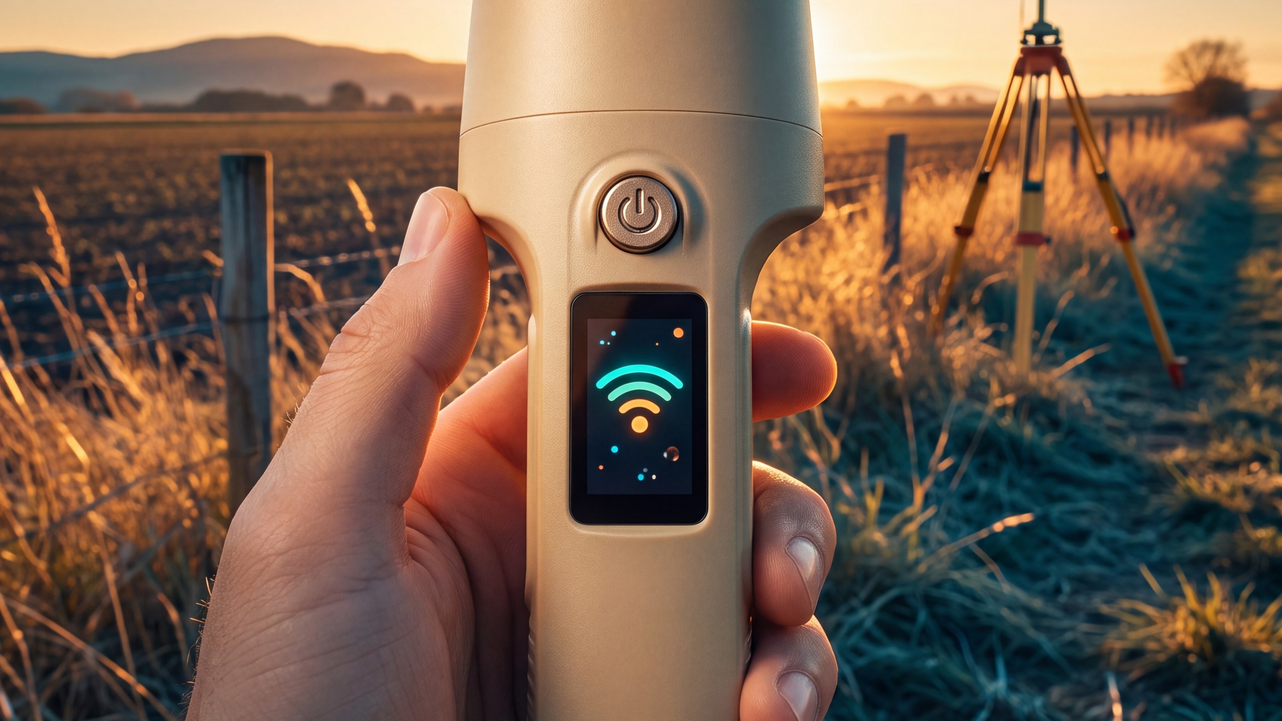
Precision agriculture uses GNSS for machine guidance, seeding, fertilizing, spraying and harvesting. The value of RTK is not only accuracy; it keeps the same field on the same working line across shifts and operators, reducing overlap, missed strips and rework.
Start with field size, implement width, headland turning and signal environment. Large fields and high-value crops benefit most from a stable fixed solution; hilly or obstructed sites require careful base-station placement, antenna installation and terrain compensation.
Related: positioning requirements for machine guidance, SK6640 high-precision antenna system and handheld GNSS receiver.
3. Digital construction: coordinates, stakeout and machine control

Digital construction uses GNSS for stakeout, earthwork and paving machine guidance, utility layout and progress checks. Design coordinates already exist on most sites, so the equipment should consume them directly and avoid manual conversion or duplicate entry.
Before deployment, align the coordinate system and elevation datum, then confirm mounting, pole height and obstructions. Machine guidance and handheld stakeout have different requirements for receivers, antennas and data links, so the whole chain should be selected together.
Related: H13 handheld RTK terminal, installation and pole height and construction customer cases.
4. Fuel retail: one location, time and business record

In fuel retail, GNSS mainly provides a location and time baseline for inspection vehicles, tankers, mobile equipment and site assets. Dispenser data, tank-level monitoring, video and plate recognition are handled by the smart fuel-station supervision solution.
Across multiple sites, location, time and business records must line up so that an anomaly can move from detection to dispatch and review as a closed loop. GNSS does not replace dispensers or tank sensors, but it gives mobile inspections and cross-site assets a common spatial and temporal reference.
Related: smart fuel-station supervision solution, fuel-monitoring customer case and submit a project brief.
5. Intelligent manufacturing: module integration and yard assets

Intelligent manufacturing uses GNSS for online management of yard vehicles, materials, forklifts and outdoor assets, as well as positioning verification before equipment shipment. For indoor-outdoor transitions, GNSS covers the outdoor segment while other positioning methods can cover indoor areas.
When a device maker integrates positioning into its own product, the MG20 RTK customizable PCBA module is often a better fit than a complete terminal. Frequency bands, interfaces, form factor, firmware and certification requirements can be confirmed at the start of the project.
Related: MG20 RTK customizable PCBA module, ODM/OEM development and product selection guide.
GNSS Industry Application FAQ
What are the main GNSS industry applications?
Typical applications include surveying and geospatial work, precision agriculture, digital construction, fuel retail and energy, intelligent manufacturing and yard scheduling, plus UAV mapping and utility inspection. Each workflow has different requirements for accuracy, convergence time, data links and installation.
How is GNSS used in surveying?
Survey crews normally use a base station or NTRIP correction service with a handheld RTK rover to obtain centimetre-level fixed solutions for control points, terrain surveys, stakeout and result checks. Coordinate systems, pole height and centring must be recorded consistently.
Why does precision agriculture need RTK?
RTK keeps machines on the same working line across passes, reducing overlap, missed areas and rework. Larger fields, wider implements and higher-value crops benefit most from a stable fixed solution and well-installed antenna.
What should be checked before GNSS stakeout on a construction site?
Confirm the coordinate system and elevation datum, then check pole height, centring, obstructions and the correction source. Machine guidance and handheld stakeout have different requirements for receivers, antennas and data links, so the whole chain should be selected together.
What does GNSS do in a fuel-retail project?
GNSS provides a common location and time baseline for vehicles, mobile equipment and site assets. Fuel-dispenser data, tank-level monitoring, video and plate recognition are handled by the smart fuel-station supervision solution; together they form an auditable workflow.
How do I choose between a handheld RTK, an RTK module and a high-precision antenna?
Choose a handheld RTK when crews need a complete field device for survey and stakeout. Choose an RTK module when a device maker integrates positioning into its own product. Choose a high-precision antenna separately when multi-band coverage, phase-centre stability and environmental protection are critical. Select the combination against accuracy, interfaces, installation and maintenance constraints.
Need to map a scenario to a configuration? Submit a project brief or start with the product selection guide.