4G + CORS (network RTK)
The rover connects over the cellular network to an NTRIP broadcast source and pulls differential corrections with an account. Wide coverage and no base station to build, which suits cross-region and highly mobile work.
There are three differential data links: public 4G over NTRIP/CORS, self-broadcast over a UHF radio, and a self-built base station with network backhaul. Choose the wrong link and the field result is either a slow fix or a fallback to single-point positioning.
The point of differential data is to send the base station's observations to the rover in a fixed format (commonly RTCM 3.x). How they are sent determines where each link fits.
The rover connects over the cellular network to an NTRIP broadcast source and pulls differential corrections with an account. Wide coverage and no base station to build, which suits cross-region and highly mobile work.
A self-built base station broadcasts RTCM directly over a data radio, with no dependence on the public network or data traffic. Suited to fixed work areas and to mountain or mining sites with no cellular signal.
The base station is set on a known point, and its observations are sent back to a centre over 4G or a network bridge for forwarding. This covers long-term fixed points together with centralised management.
Stable public network in the work area: prefer 4G/CORS. Fixed area with no public network: build a base station with a UHF radio. Long-term unattended operation that also needs centralised management: base station with network backhaul.
Multi-constellation centimetre-level RTK; NTRIP CORS differential; fixed-solution convergence <10s.
Constellations: BeiDou-3 + GPS + GLONASS + Galileo + QZSS + SBAS; update rate 1–20Hz (10Hz default).
Communication: full-network 4G + Bluetooth 5.1; ISP high-definition display with voice prompts.
Enclosure: IP67, 2m drop resistance, 4000mAh, RTK runtime ≥20h; USB-C 5V/2A.
Three versions: BeiDou-only, dual-frequency and Pro; channels 128 / 128 / 1408 (the Pro shares a module with the H13, NebulasIV).
RTK accuracy: horizontal 1cm+1ppm / 1cm+1ppm / 0.8cm+1ppm; vertical 2cm+1ppm / 2cm+1ppm / 1.5cm+1ppm.
Links: full-network 4G CAT1 + NTRIP + MQTT + dual-mode Bluetooth; OLED display, IP67; USB-C, 5V/2A adapter; configured with GboxTools.
UM980 + 4G + Bluetooth; 1408 channels (NebulasIV); supply range 5–30V.
Frequencies: BeiDou B1I/B2I/B3I/B1C/B2a/B2b, GPS L1/L2/L5, GLONASS L1/L2, Galileo E1/E5a/E5b/E6, QZSS L1/L2/L5/L6.
RTK accuracy (RMS): horizontal 0.8cm+1ppm, vertical 1.5cm+1ppm; cold start <20s; differential data can be carried over NTRIP or forwarded through a local serial port or radio.
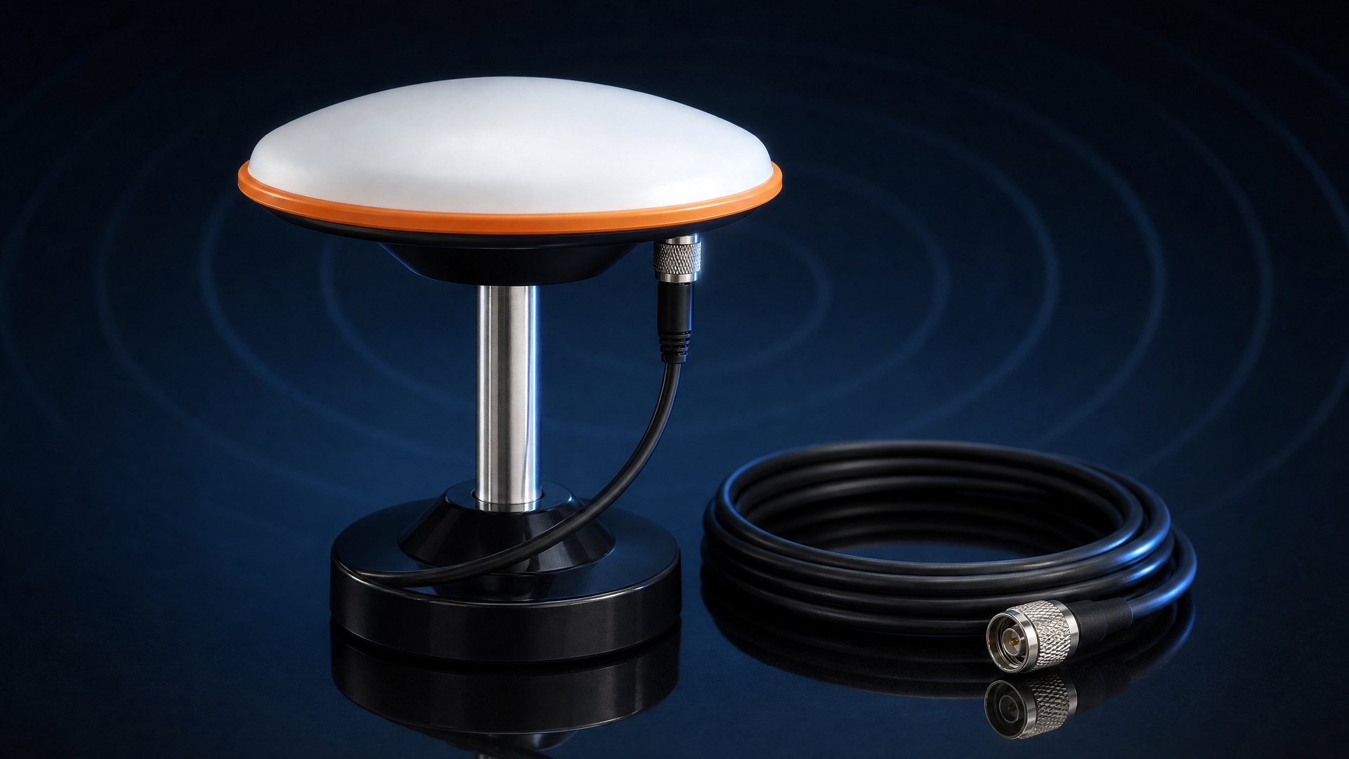
With signal, prefer 4G/CORS and skip the base station; without it, consider a UHF radio.
Fixed, long-term points suit a self-built base station with network backhaul, set up once and used long term.
RTCM version, reporting rate, coordinate system and declassification requirements, agreed once per project.