Pole height entered wrong
Elevation shifts as a whole, and the results all have to be reworked.
With the same equipment, installation and pole-height setup change the fix rate and elevation results. If three common field points are not handled properly, an entire batch of results may need rework.
Elevation shifts as a whole, and the results all have to be reworked.
The antenna is blocked by the vehicle body or a bracket, and the fix rate drops.
Long-term points work loose and the data shows jumps.
Measure and record the pole height and centring method accurately first; then choose the installation position, avoiding obstruction and strong reflecting surfaces; finally fix the installation and tidy the cables so that vibration does not cause poor contact. Leave each step re-testable so the problem stays within a controllable range.
Pole height is the field item that is easiest to get wrong and the most expensive to fix. When the pole-height input does not match the actual value, the horizontal effect is small, but the elevation shifts as a whole: the error in the measurement becomes the offset in the results, and the batch often ends in rework.
Before work, measure and record the pole height of the range pole accurately, and agree the measurement method (pole height and centring method) across the crew. After changing the pole, adding or removing a section, or adjusting the centring method, measure again and update the controller parameters; do not carry over the value from the previous point.
The installation position decides how many satellites the antenna can see. When the antenna is blocked by the vehicle body, a bracket or metalwork, the number of available satellites falls and the fix rate drops with it; near large metal surfaces, glass curtain walls or water, multipath error rises and the fixed solution is more likely to drop.
When mounting on a machine, keep the antenna's sky view open as far as possible, away from obstructions and strong reflecting surfaces, and confirm the feeder length and routing at the same time. Installation height should not be raised blindly; confirm it on site against the actual work and obstruction.
The difference between a temporary point and a long-term point is mainly fixing and protection. If a long-term outdoor point is not fixed firmly, wind load, vibration and temperature change work it loose, and the data shows jumps or intermittent dropouts.
For a long-term outdoor point, apply protection and grounding, tidy the cables and fix them where they will not be pulled, so vibration does not cause poor contact. Once point stability is confirmed, start continuous observation or connect to the platform.
Positioning: multi-constellation centimetre-level RTK; NTRIP CORS differential; fixed-solution convergence <10s.
Constellations: BeiDou-3 + GPS + GLONASS + Galileo + QZSS + SBAS.
Update rate: 1–20Hz (10Hz default).
Communication and interaction: full-network 4G + Bluetooth 5.1; ISP high-definition display with voice prompts.
Protection and runtime: IP67, 2m drop resistance, 4000mAh, RTK runtime ≥20h, USB-C 5V/2A.
Three versions: BeiDou-only, dual-frequency and Pro.
Channels: 128 / 128 / 1408 (the Pro shares a module with the H13, NebulasIV).
RTK accuracy: horizontal 1cm+1ppm / 1cm+1ppm / 0.8cm+1ppm; vertical 2cm+1ppm / 2cm+1ppm / 1.5cm+1ppm.
Update rate: 1–10Hz / 1–10Hz / 1–20Hz.
Frequencies: the Pro version supports more BeiDou/GPS/GLONASS/Galileo/QZSS/NavIC/SBAS frequencies.
Communication and configuration: full-network 4G CAT1 + NTRIP + MQTT + dual-mode Bluetooth; OLED display, IP67; USB-C, 5V/2A adapter; configured with GboxTools.
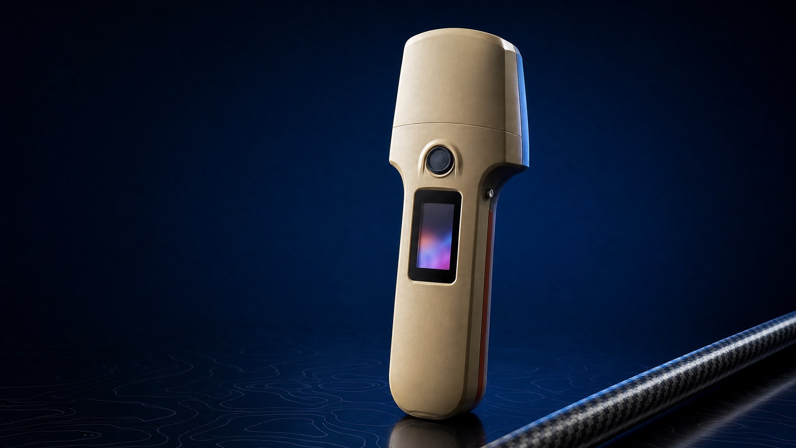
Current products (verified 2026-09-29): handheld H13 (multi-constellation, multi-frequency professional RTK handheld, single Pro tier); H11 (BeiDou-only, dual-frequency and Pro versions; H11 ProEU for Europe and H11 ProEN for North America overseas; brand name "Beidou Xingtan"); module MG20 (customizable RTK PCBA); antennas SK6640 and SK6608. The H11 Pro and H13 use the same module (1408 channels, NebulasIV).